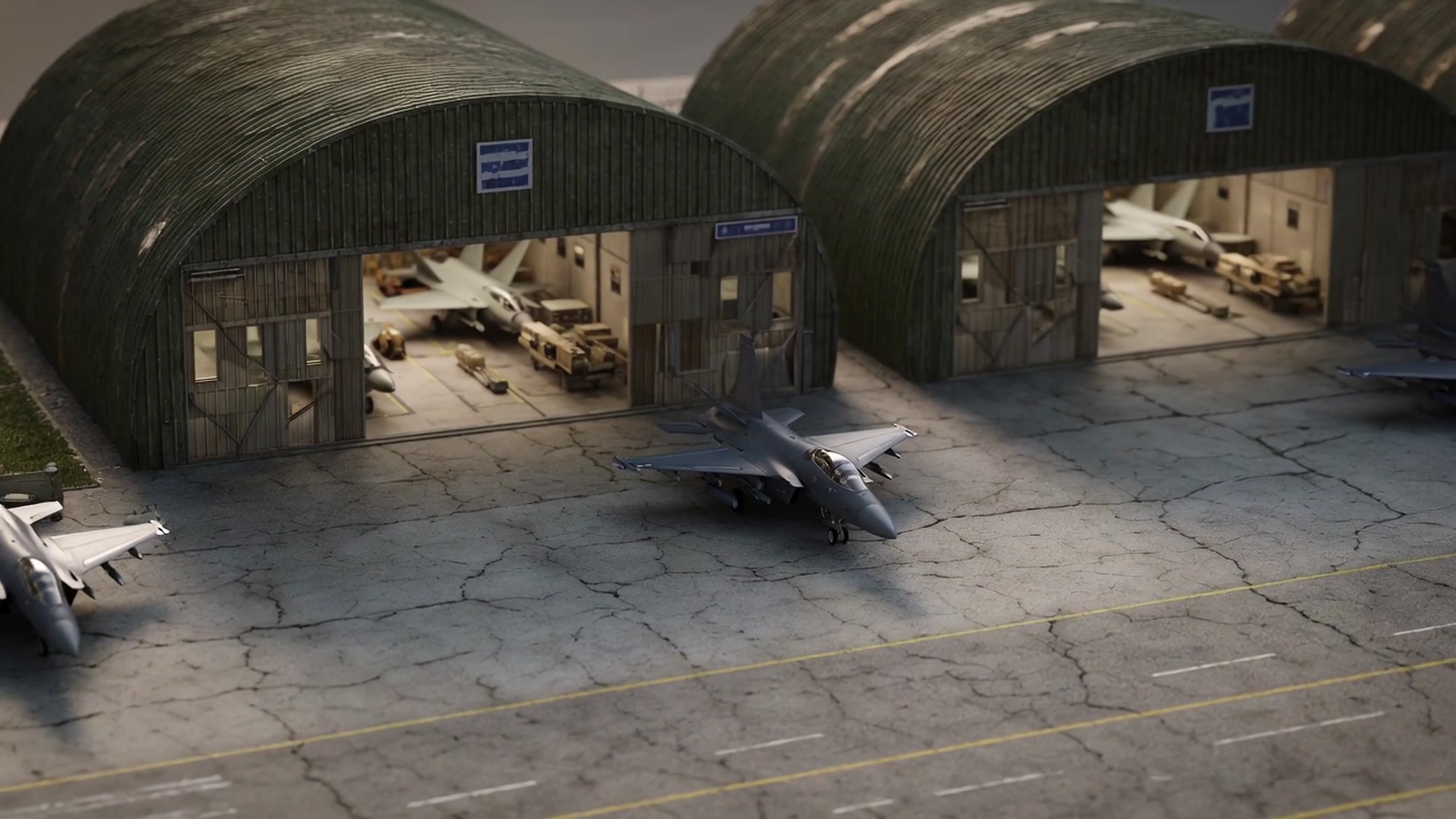
Defense & Intelligence, real environment photograph
SMART_FRAME · UAV_02 / AIRFRAME
LOCKED 1.00 · OPS_LAYER
Use Case 05, ACTIVE DEVELOPMENT

One layer, from flight line to foundation.

Point a camera-enabled device at any physical asset, an aircraft component, a pallet, a chiller plant, and reach its complete digital identity, status, custody, and history at the point of action. Drone-collected imagery becomes navigable digital twins with AI-detected anomalies; operators keep live telemetry and a unified 3D airspace picture in view. Mobile or fixed, it is one platform, one data model, one gesture: point, see, act.
TAM $12.8B+TTE 14ms APP REQUIRED NONERECORD PERMANENT
How it deploys

Point. See. Act.

01

Point

The same gesture across two asset universes: a maintainer points at a jet engine, a base civil engineer points at a chiller plant. Kanek resolves the asset’s digital record where the person is standing, closing the gap GAO flags in both supply-chain management and building condition.

02

See

Drone imagery, LiDAR, and telemetry convert automatically into persistent, navigable digital twins. Infrastructure AI detects cracks, corrosion, and deformation at ingestion and geo-tags each finding to sub-meter coordinates; the Operator HUD keeps live telemetry in the pilot’s field of view.

03

Act

Every interaction feeds one enterprise dataset: versioned asset records, custody captured automatically, lifecycle continuity from groundbreaking onward, and institutional memory that survives every rotation and contractor change.

The application

What the user sees

Three products on one platform, integrating with existing hardware, flight software, and GCS without modification. Every element below is anchored to real-world coordinates through Kanek’s AR engagement layer.

OPERATOR HUD
ALT · SPEED · THERMAL · BATTERY, IN VIEW · LINE OF SIGHT UNBROKEN
OPEN HUD
LIVE AIRSPACE VIEW
ADS-B + REMOTE ID + GCS · ONE 3D PICTURE OF THE AIRSPACE
VIEW AIRSPACE
DIGITAL TWIN PORTAL
ANOMALIES GEO-TAGGED <1M · ANY STAKEHOLDER, ANY DEVICE
ENTER TWIN
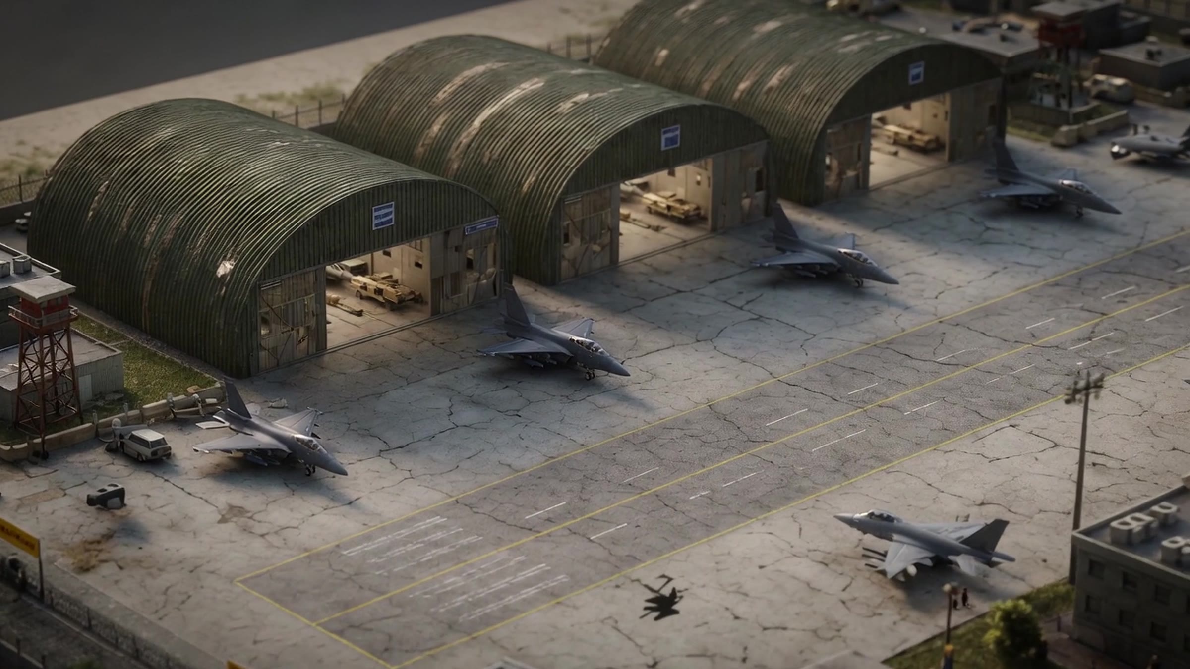
Defense & Intelligence, second real environment photograph
UNRETOUCHED ENVIRONMENT · KANEK PERCEPTION LAYER READY
<1M
Spoof-proof GNSS positioning
10HZ
Full 6DOF localization
668K
DoD facilities, one data layer
REAL-TIME
Anomaly detection at ingestion

Deploy Kanek in your environment.
The system is ready.

Request a DemoNext: Smart Cities →