
Urban navigation, infrastructure monitoring, public information overlays. Every city surface becomes an interactive data layer for citizens and operators, the street reads back.
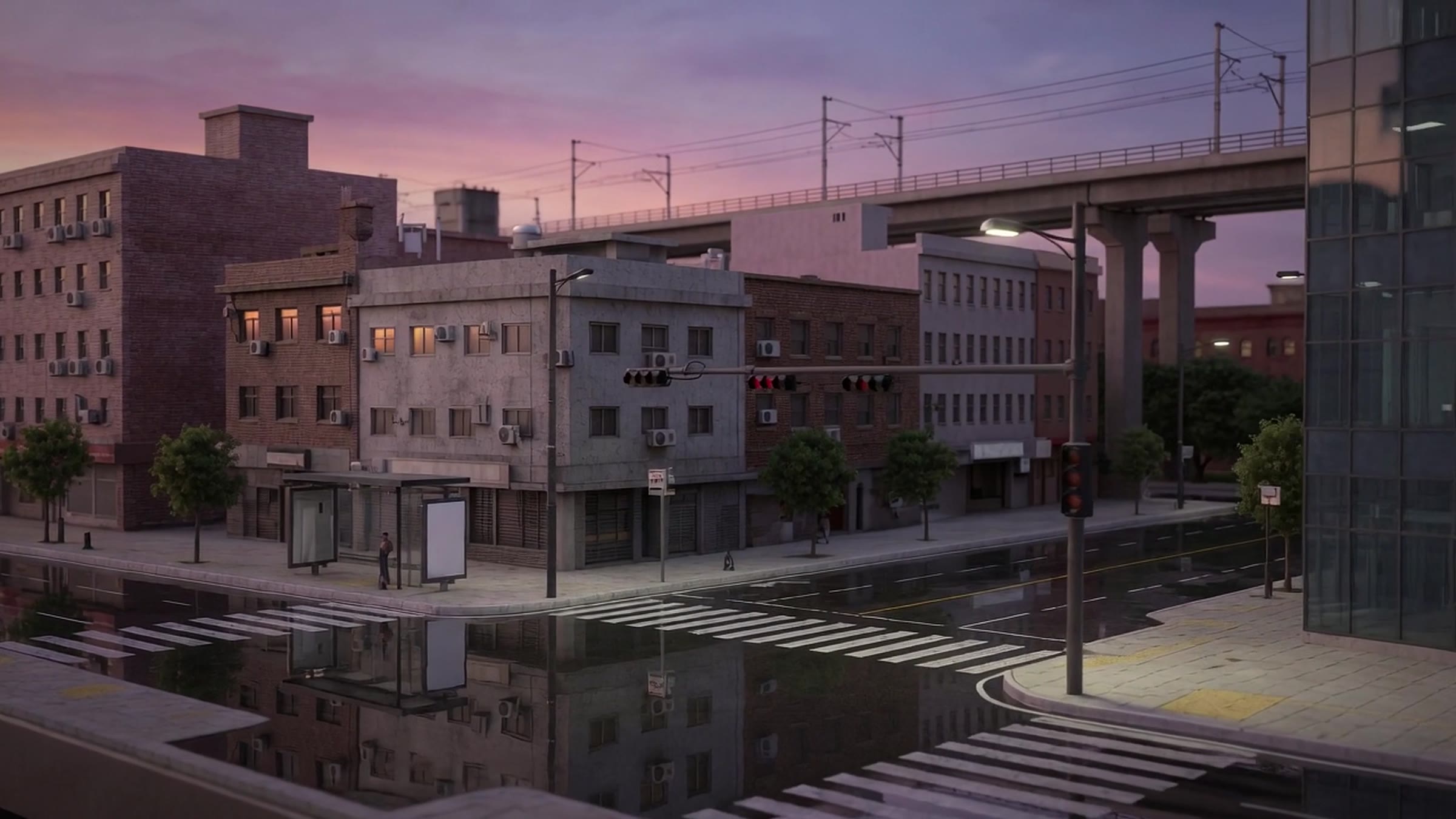
Facades, transit stops, and street furniture become recognized civic nodes, city systems emerge gradually from recognition.
Citizens point a camera for transit times, permits, events, and services; operators see infrastructure state in place.
Usage and condition data accumulate per node, the city gains a living, searchable model of itself.
At street level the city introduces itself: transit, services, and live district information surfaced from the nearest facade. Every card is anchored to the civic node that produced it.